SnowRadar Is Going South for Winter
North America is done. New Zealand, Australia, Chile, and Argentina are about to make weather nerds useful again.
SnowRadar Is Going South for Winter
The North American ski season is basically down to leftovers, stubborn glaciers, and people arguing about whether one ribbon of snow counts as "open."
So we are pointing the radar south.
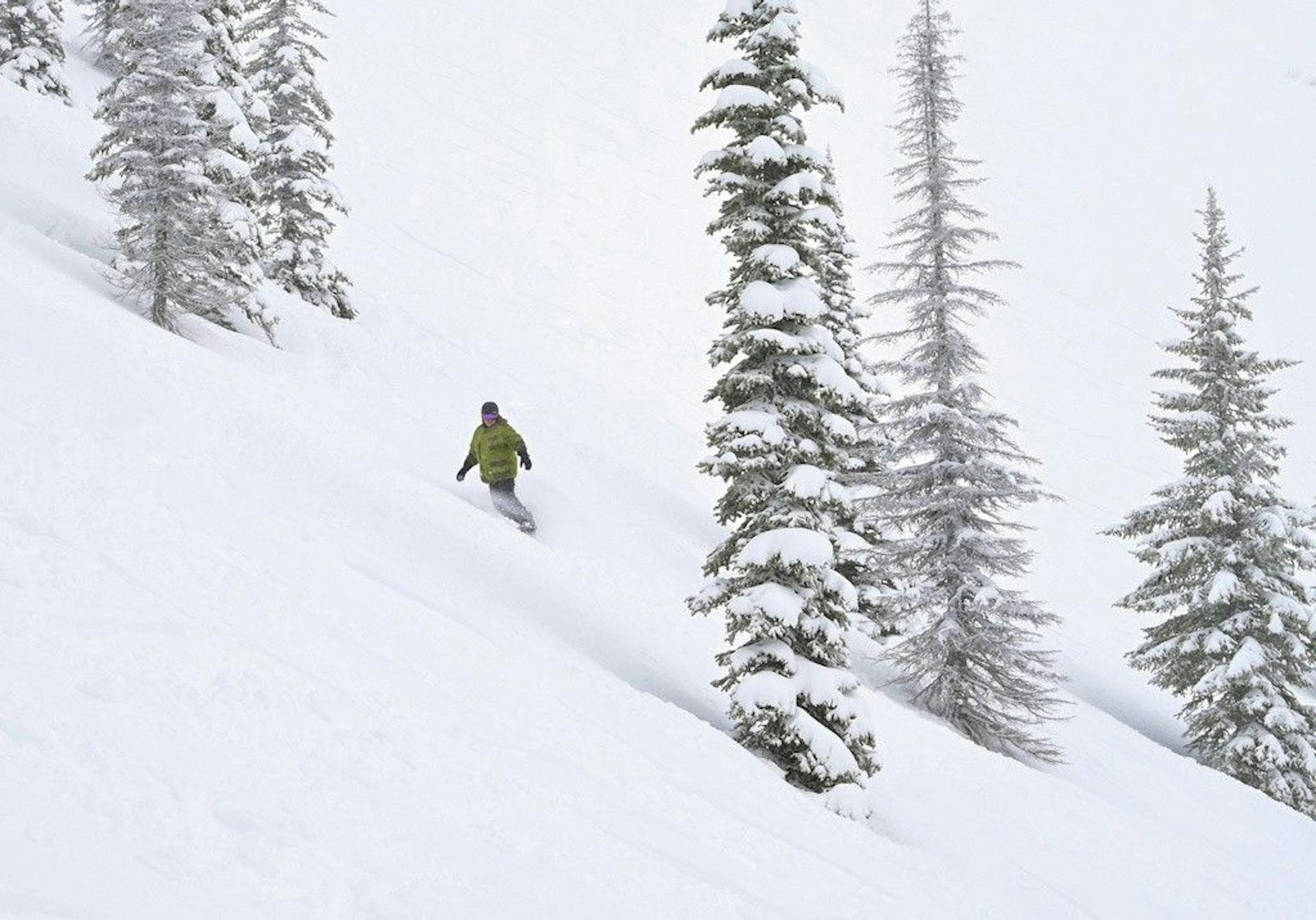
New Zealand, Australia, Chile, and Argentina are the obvious summer bridge for SnowRadar. They give us actual ski weather while the U.S. and Canada are in construction season, bike season, and "please stop showing every resort as closed" season.
We are starting with a new Southern Hemisphere Ski Watch: opening dates, storm windows, travel angles, and the prediction markets worth launching when the models give us something real.
The First Targets
New Zealand gets first chair.
Mt Hutt lists a June 12 opening. Coronet Peak and Cardrona are both targeting June 13. That gives us a clean early-June opening beat with real resort reporting, Queenstown/Wanaka travel interest, and enough weather weirdness to make model-watching fun.
Australia is more of a watchlist than a full send. Perisher matters because of the Epic Australia angle, but early June in Australia can be thin. Sometimes opening weekend is skiing. Sometimes it is branding with snow guns. We will track it, but we are not pretending every flake is a powder cycle.
The Andes become the better powder story later in June and July. Portillo is targeting June 20. Valle Nevado is already selling 2026 passes, and Cerro Catedral gives us the Bariloche story once Patagonia starts turning on. Las Lenas is the expert-terrain chaos card.
Prediction Markets Are Coming Back
The format still works:
- Set an over/under snowfall line before a storm
- Lock picks when the storm starts
- Resolve from official resort reports
- Let people be smug or wrong in public
But we should not force it. The lesson from last season is that the market is only interesting when the line is close enough to argue about. A random 14-day model fantasy is not a market. It is astrology with precipitation maps.
So the Southern Hemisphere rule is simple: no markets until a storm is inside useful range.
The first likely candidates:
- Mt Hutt opening-week storm total
- Coronet Peak/Cardrona Queenstown basin snowfall
- Valle Nevado first central Chile powder window
- Portillo opening-week snowfall
- Cerro Catedral July storm total
Five good markets beat 20 filler markets.
Why This Is Worth Doing
It keeps SnowRadar alive during the northern summer without turning the site into generic ski news mush.
It also gives us a live testing ground before next winter. We can keep comparing GFS, ECMWF, and ICON. We can keep refining how we set snowfall lines. We can build the prediction leaderboard while nobody is fighting holiday crowds in Vail.
And frankly, Southern Hemisphere skiing is just a better summer story than "another resort bought a new chairlift." Queenstown, Portillo, Bariloche, Santiago day trips, volcanic Chilean terrain -- that stuff has teeth.
The Coverage Plan
We are keeping this tight:
- New Zealand opening watch in June
- Andes storm watch from late June into August
- Australia only when conditions or Epic relevance justify it
- Prediction markets only when model spread makes the line interesting
- Travel content focused on places North American skiers might actually book
That is enough to make SnowRadar useful while the northern mountains melt out.
Start with the Southern Hemisphere Ski Watch, keep an eye on Predictions, and watch for the first real storm worth arguing about.