Week Ahead: Australia's Storm Finally Landed. Now Comes the Useful Part.
The August storm did the messy thing first: rain, wind, blizzard conditions, chains, and only then snow. The best ski days may come after the headline.
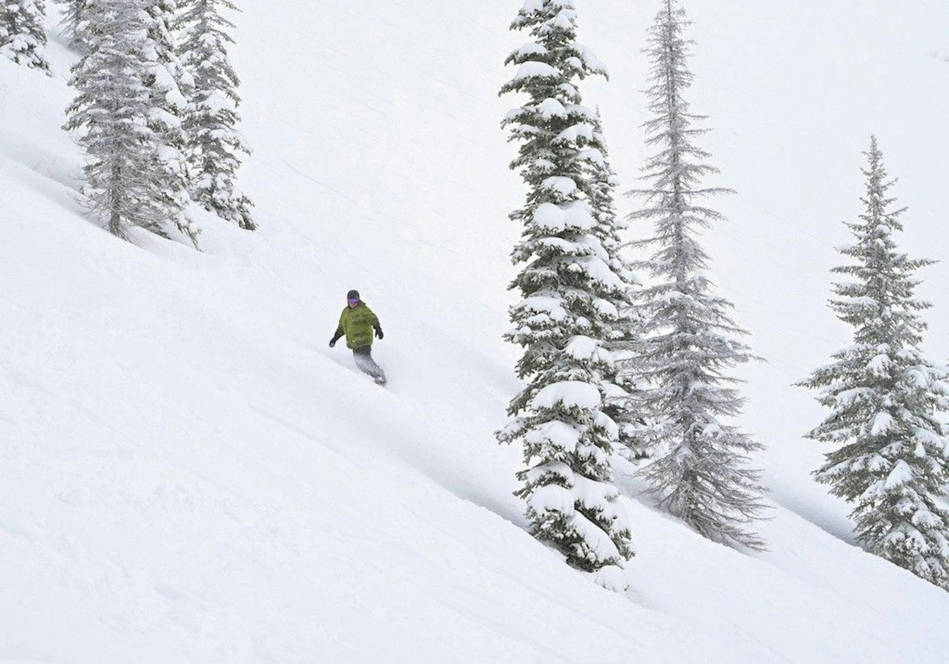
Australia finally got the storm.
It did not arrive politely.
The rain came first. The wind came with it. Then the cold change flipped the script before dawn Monday, turning the wet system into snow and blizzard conditions across the Australian Alps. That is the headline, but it is not the whole story. In a season this fragile, the useful part is not "it snowed." The useful part is whether resorts can turn the storm into skiable terrain after the atmosphere stops throwing furniture around.
Perisher's Aug. 10 report is the perfect snapshot: rain turned to snow around 6 a.m., the resort picked up 5cm on the snow stake by report time, had 40 lifts scheduled, warned that high winds could affect operations, and listed 38 groomed runs on soft, wet snow. Later operations data showed 41 expected lifts, an 84cm natural depth, and chains required between Prussian Creek and Perisher.
That is not a clean powder day.
That is a rebuild day with upside.
30-70cm
Mountainwatch storm-total forecast
5cm
Perisher early Monday snow stake
41
Perisher expected lifts
84cm
Perisher natural depth
The Storm Landed, But Sunday Was the Tax
Friday's forecast called the shot pretty well: Australia was getting a major system, but it was going to be ugly before it became useful.
Mountainwatch's weekend forecast expected around 15-35cm on both Monday and Tuesday, or 30-70cm total, after a Sunday washout and late cold change. By Monday morning, the live forecast had the same basic structure: the storm turned cold before dawn, snow levels dropped toward resort bases, and the early wet mess became snow.
This matters because "30-70cm" can mean two very different things.
If it falls cold from the start, you get an easy marketing graphic and everyone calls in sick.
If it starts as rain, gets punched by wind, then flips to snow, the mountain needs time. Patrol has to assess. Groomers have to fix the surface. Wind-loaded areas need caution. Roads need chains. Lift operations may start late, pause, or change repeatedly. The snow still matters, but the best skiing often comes after the storm rather than inside it.
That is where Australia is now.
The storm worked. The useful part is still being built.
Perisher Is the Anchor Again
Perisher is the easiest Australian resort to trust this week, not because it escaped the mess, but because it has the most ways to process it.
The Aug. 10 report had the full weird mix: fresh snow, strong northwesterly winds, blizzard-like visibility, soft wet snow underneath, 38 groomed runs, and a lift plan big enough to matter if weather cooperates. The resort also had snow showers in the forecast through Thursday, which is exactly the right follow-up if the first wave left a wet base and a colder second act.
Scale is the reason this matters.
In a marginal Australian season, a smaller resort can have one bad lift hold turn the whole day into a shrug. Perisher has four resort areas, enough grooming capacity to patch the awkward stuff, and enough snowmaking infrastructure to keep converting cold nights into skiable mornings. It can absorb a messy storm better than most places.
That does not make Monday the day to chase.
It makes Perisher the best place to watch from Tuesday into Thursday, when the new snow has had time to settle and the lift board has had time to catch up.
The SnowRadar read:
- Monday is weather.
- Tuesday is assessment.
- Wednesday and Thursday are the days to judge the storm.
Thredbo, Hotham, and Falls Creek Get the Wild Card
The storm is not just a Perisher story.
It is an Australian Alps reset attempt.
Thredbo gets the same broad pattern: high terrain upside, wind exposure, and a skier experience that depends heavily on whether the upper mountain can run. When Thredbo is on, it has the best fall-line skiing in Australia. When wind pins the upper lifts, the product changes fast. That makes it a higher-ceiling, higher-risk play this week.
Victoria is even noisier. Hotham and Falls Creek were both in the warm-night-to-snow-change zone Monday morning, which is the exact setup that can either produce a legit reload or a complicated surface that needs grooming, cold, and patience. If the totals verify cleanly, Victoria may be more interesting midweek than it looked on Sunday. If the wet start dominates the lower elevations, the headline number will overstate the actual ski experience.
So the useful advice is boring on purpose:
Watch lift status first. Watch snow quality second. Treat snowfall totals as a clue, not a verdict.
Australia finally has the storm it needed. It still has to convert.
New Zealand Is Quiet, Which Is Mostly Fine
Across the Tasman, New Zealand has a less dramatic week and probably a more pleasant one.
Mountainwatch's Aug. 10 New Zealand forecast says the weekend storm favored the Southern Lakes, with Cardrona and Treble Cone picking up 10cm and 18cm overnight Saturday, while Coronet Peak and The Remarkables saw a few centimeters. Canterbury got a smaller 2-5cm refresh, with Ohau doing better at 12cm.
That is not a huge reset, but New Zealand does not need the same rescue story right now. It has already had the better July and early August operating platform.
Cardrona's SnowNZ report showed a 50cm base across upper, mid, and lower mountain, 12cm over seven days, the road open with chains on 2WD, and a small midweek refresh signal. The Remarkables SnowNZ report listed a 60cm upper base and 15cm lower base, though its snow report page was not showing new snow in the last seven days at the time of checking.
The contrast is pretty clean:
Australia has the more consequential storm.
New Zealand has the lower-drama ski week.
If you are already in Queenstown or Wanaka, this is not a week to panic-book Australia because the forecast number is bigger. Ski the settled product, watch the Wednesday front, and use Friday if visibility and wind line up.
The Best Day Is Probably Not the Biggest Number
This is the core August lesson.
In the Southern Hemisphere, especially in Australia, the best ski day is often not the day with the biggest snowfall number. It is the day after the wind backs off, after grooming has worked, after roads are manageable, after wet snow has refrozen into something supportable, and after resorts know what they can safely open.
That is why the Monday headline is not "Australia is fixed."
It is "Australia finally has material to work with."
For skiers, that changes the plan:
- Australia: target the midweek window, with Perisher as the safest broad-market pick and Thredbo/Victoria as higher-variance options.
- New Zealand: keep leaning on Queenstown/Wanaka and Canterbury reliability, with a smaller Wednesday weather blip to watch.
- Travelers: do not chase Monday's storm chaos unless you like road reports, wind holds, and visibility games.
- Snow nerds: this is the first Australian week in a while where the post-storm terrain conversion matters more than the forecast debate.
That last point is the important one.
For most of winter, Australia's question has been whether the storm would arrive at all.
Now it arrived.
This week answers the better question: what can the resorts actually do with it?
What SnowRadar Is Watching
Three things decide the week from here.
First, lift conversion. Perisher's scheduled lift number is strong, but scheduled and spinning are not the same thing during a windy storm cycle. If Perisher can keep broad terrain open by Wednesday, Australia's week gets a lot more credible.
Second, surface quality. Rain-to-snow storms can ski beautifully after a reset, or they can hide a weird wet layer underneath the new snow. Groomer reports will matter more than social clips.
Third, whether the follow-up snow through Thursday is real. The first wave gave Australia the base material. The smaller colder pulses are what could make it ski better instead of merely look better.
So yes: Australia finally got the storm.
But the smart skier waits for the useful part.