Week Ahead: The Rescue Storm Bought Time. Now Terrain Has to Open.
Australia finally got winter on the ground, New Zealand has another storm window, and the useful scoreboard this week is lift counts -- not hype.
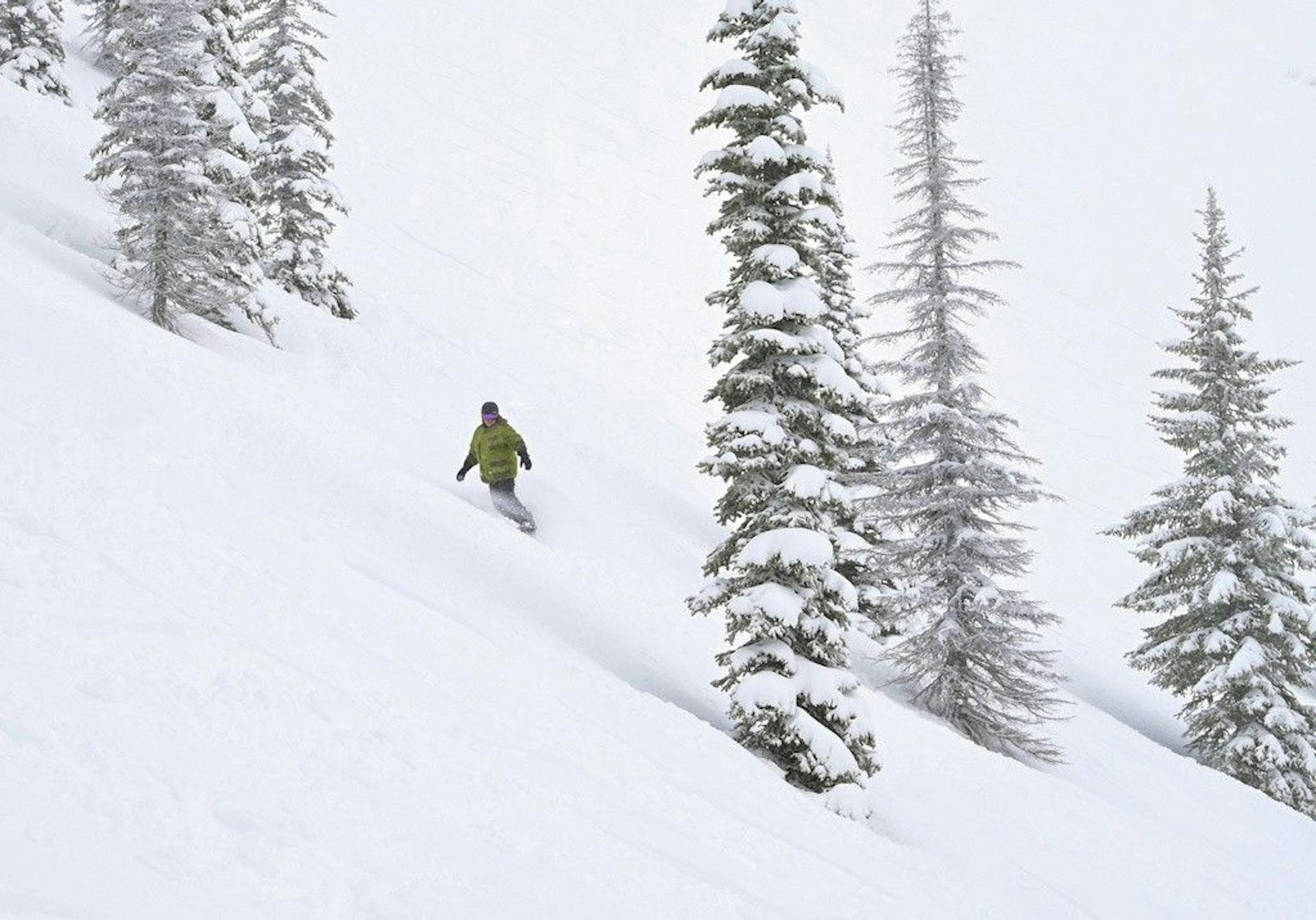
The Southern Hemisphere finally has snow worth arguing about.
That is progress.
It is not the same thing as a normal ski season.
Australia got the emotional reset last week. ABC News called it the worst start in decades, then watched a cold front drop roughly 15-20cm across the higher slopes at Thredbo, Perisher, Mount Hotham, and Falls Creek by early Friday, with another 10-20cm possible before the storm cleared. The Guardian reported almost 30cm in parts of the NSW and Victorian alpine zones.
That was the rescue storm.
Now comes the accounting.
Snowfall totals made the webcams look sane again. The next useful question is whether resorts can turn that snow, plus cold nights and snowmaking, into terrain that actually absorbs school-holiday traffic.
Because "winter returned" is a weather headline.
"The mountain skis bigger than two crowded strips" is the product.
15-20cm
Australia higher-slope Friday snow
6/7
Remarkables lifts open
15-60cm
Remarkables base
35-60cm
Mt Hutt forecast range
Australia Got Its First Real Chance
Australia did not need a powder headline.
Australia needed usable material.
The distinction matters because the June damage was ugly. ABC reported Perisher picked up 301mm of precipitation from June 1 to July 2, but only 25mm fell while temperatures were below freezing. Snowy Hydro measured 0cm at Spencers Creek on July 1, against a long-term average of 70cm one month into winter.
That is not a slow start. That is an operational hole.
So when Friday's storm arrived, it did two jobs at once. It put snow on the ground, yes. It also gave snowmaking crews a colder, whiter platform to build from after a month of rain, wind, and warm air.
Perisher moved fast. Its official site posted a July 4 update saying the V8 and Quad Express were opening, with "more lifts and terrain" after natural snow and snowguns firing. That is the kind of update that matters more than another pretty snow stake.
The useful read is not "Australia is fixed."
It is "Australia finally has something to compound."
The School-Holiday Test Starts Now
This is the awkward part.
A resort can go from brown to white in a storm and still be capacity-constrained.
School holidays do not care that the base is young. Families are arriving. Lessons are booked. Rentals are moving. Roads get busy. Beginner areas fill. Every lift that opens spreads people out; every lift that stays closed concentrates frustration.
That is why the next few days are more important than the Friday snowfall total.
Mountainwatch's Australian forecast had the right shape for a rebuild: a Friday total of 10-30+cm mainly on mid and upper slopes, then cold and clear windows Monday and Tuesday for snowmaking. It also flagged another possible storm around July 12-13.
That is exactly what Australia needs: sequence.
Snow. Cold nights. Grooming. More snowmaking. More lifts. Then another refresh.
One storm stops the bleeding. A sequence builds a season.
For Perisher and Thredbo, watch lift counts and groomed-run counts. For Hotham and Falls Creek, watch whether the higher-slope gains survive traffic and whether snowmaking keeps filling the lower weak points. For everyone, watch the language in the daily reports. When resorts stop sounding like they are apologizing for early season and start talking like normal operations, that is the real turn.
New Zealand Is Ahead, But Not Done
New Zealand has moved from opening drama into expansion math.
The Remarkables' July 6 report is the cleanest snapshot. The mountain was open after another snowy day, with 25cm in the last 48 hours, a 15-60cm base, 6 of 7 lifts open, and both beginner areas open. Curvey Basin was opening for the first time this season, adding intermediate terrain.
That is real progress.
The fine print still matters. Off-piste was listed as "stay on trail." Terrain was 50% open. Advanced, expert, and extreme terrain remained closed. Chains were required for all vehicles.
That is not bad news. It is honest news.
The Remarkables is doing what a resort should do after a rough start: add terrain in stages, keep people on the groomed product, and avoid pretending a young snowpack is deeper than it is.
This is the week where The Remarks can become the Southern Lakes proof point. If Curvey Basin holds, if Sugar Bowl keeps running, if visibility and road access cooperate, the mountain has moved from symbolic opening to useful early-season skiing.
That is a big step.
Cardrona Is Open. Treble Cone Is Still the Warning Label.
The Cardrona-Treble Cone split is still the most useful reality check in New Zealand.
The shared official site currently lists Cardrona open and Treble Cone closed. Same operator. Same broader region. Very different readiness.
That is why destination skiers should be careful with shorthand.
"Wanaka is open" hides the real decision. Cardrona may be the right early-season pick because it can lean on snowmaking, beginner terrain, and a more forgiving operating model. Treble Cone is a different beast. It needs a better natural base to make sense. Its best terrain is also the exact terrain you do not want to rush after a thin, delayed start.
Treble Cone being closed is not a failure.
It is a useful warning label.
The resorts that look conservative now may be the ones making the best decisions.
Canterbury Gets the Bigger Storm Bet
The most interesting forecast is not in Australia. It is Canterbury.
Mountainwatch's New Zealand forecast called for the Southern Lakes to get a 10-15cm+ shot by early Sunday, while Mt Hutt and the Craigieburn Range could see 35-60cm through late Tuesday. It also flagged another 10-30cm for Canterbury around Wednesday and Thursday.
That is the kind of storm window that can change the New Zealand season quickly.
But the lead-in was not clean. The forecast included heavy rain and strong northwest winds before the colder southerly phase. That matters because young snowpacks do not get to ignore rain. They absorb damage first, then try to rebuild.
Canterbury has upside because the cold side of the storm looks stronger there. Mt Hutt and the club fields do not need a perfect postcard storm. They need enough sustained snow and cold to turn early-season operations into something durable.
If Mt Hutt comes out of this week with meaningful base growth, Canterbury becomes the New Zealand anchor.
If the rain and wind take too much off the top, the story stays messier.
The Vail Lawsuit Is the Background Noise
There is one North American industry item worth keeping on the radar, even in a Southern Hemisphere week.
SnowBrains reported that Vail Resorts filed a motion to dismiss the Epic Pass antitrust class action on June 18. The suit is still early, and motions to dismiss are not verdicts. But it keeps the pass-war story alive during a month when most North American resorts are selling summer activities, not skiing.
Why mention it here?
Because the weather story and the business story are starting to rhyme.
The 2025-26 North American season punished pass products built on confidence. Australia and New Zealand are now showing the same uncomfortable truth from the other side of the calendar: a ski season is not a date range. It is operating terrain, cold windows, and enough snow to make the promise feel real.
That is the pressure underneath everything.
Passes, trips, school holidays, flights, lodging, lessons -- all of it assumes winter shows up close enough to schedule.
This year keeps testing that assumption.
What to Watch This Week
The headline metric is no longer snowfall.
It is terrain conversion.
In Australia, watch whether Perisher and Thredbo keep expanding beyond the initial rescue-storm gains. Watch whether Hotham and Falls Creek can turn the 20-30cm reset into a broader school-holiday product. Watch the July 12-13 storm signal, because another cold shot would matter more than another round of sunny webcam relief.
In New Zealand, watch The Remarkables' lift count. Six of seven open is a real number, but the terrain mix is still limited. Watch Cardrona's product language and Treble Cone's opening path. Watch Mt Hutt, because Canterbury has the biggest upside if the storm verifies.
And watch the road reports.
Chains, wind holds, visibility, and access restrictions are not side notes. They decide whether a powder forecast becomes a ski day or a parking-lot story.
SnowRadar Take
The Southern Hemisphere season finally has momentum.
Now it has to prove it can handle people.
Australia's rescue storm bought time, but school holidays will spend that time fast. New Zealand is in better shape than it was two weeks ago, but the good terrain is still being earned day by day.
The honest forecast for this week is cautiously better.
Not fixed.
Better.
That is enough to make the next seven days worth watching.
Use SnowRadar's forecast tools, check the Southern Hemisphere Ski Watch, and treat every "open" label like the start of a question, not the end of one.